ACADEMIC SPATIAL DATA INFRASTRUCTURE
ENDLESS POTENTIAL

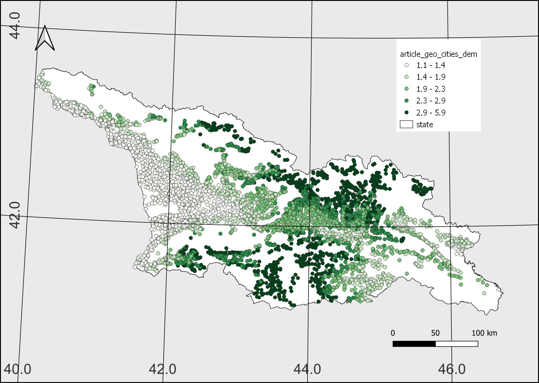
Firewood Consumption
The firewood consumption is a dataset and online tool that helps determine firewood per capita consumption for settlements of Georgia.
Publications:
DOI: 10.1080/03071375.2020.1747844

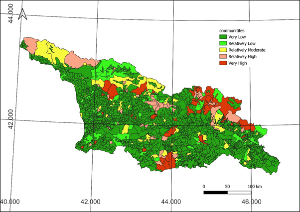
Risk Index
The natural disaster risk index is a dataset and online tool that helps us visualize Georgia’s communities at risk for 6 natural hazards.
Publications:

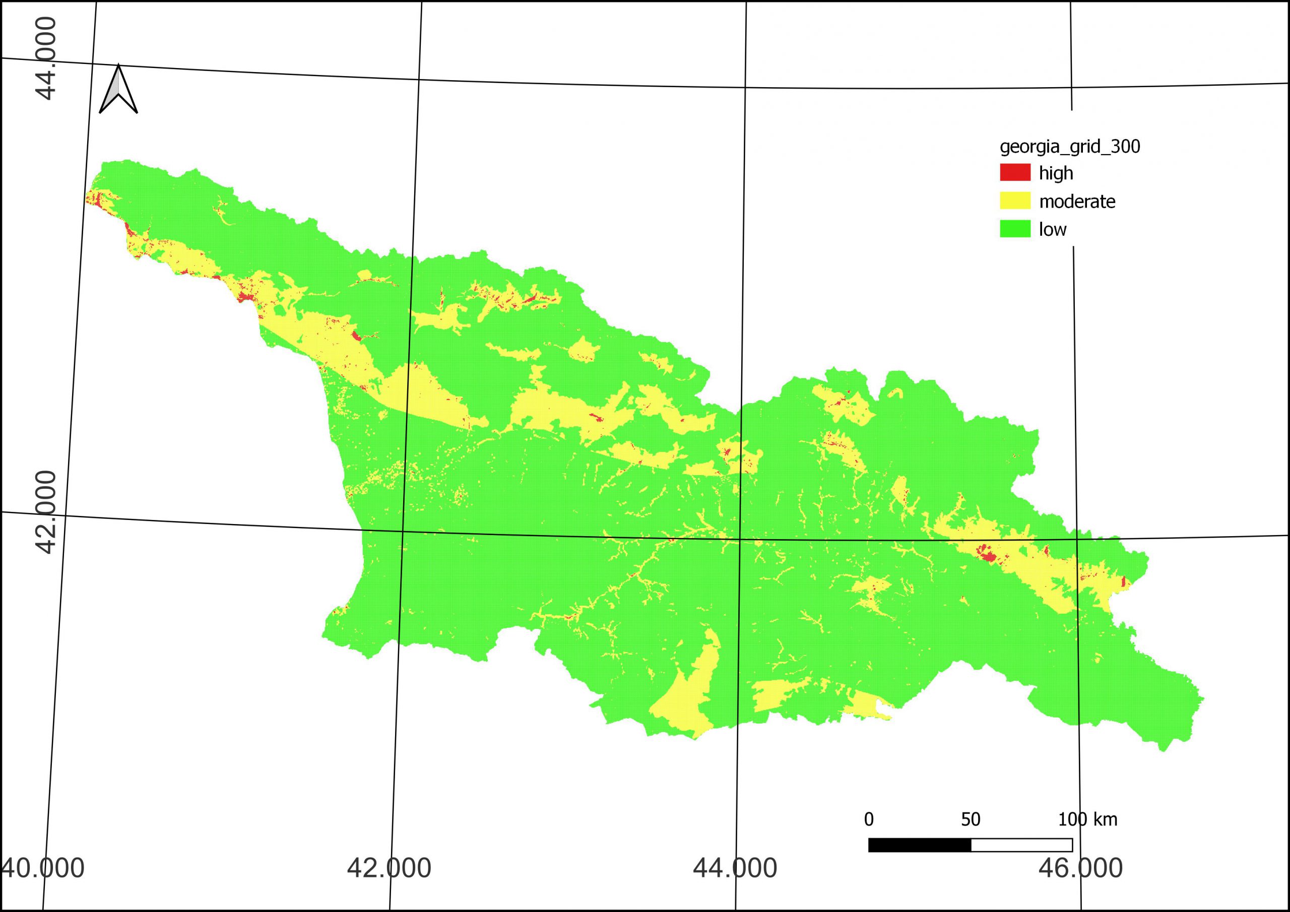
Multi Hazard Risk Map
The following phenomena are taken into account: Seismic Hazard, Landslide Hazard, Mudflow Hazard, Rock fall Hazard, Flood Hazard.
Publications:
DOI: 10.3846/gac.2022.14791
ABOUT ASDI
Academic SDI especially designed for the academic environment would be interesting for the community, firstly because the reanalysis of the data helps to verify the results, which is a key part of the scientific process. Secondly, different interpretations or approaches to existing data contribute to scientific progress, especially in an interdisciplinary context. In addition, if well managed, long-term preservation helps maintain data integrity. Another important aspect is that when data is available, its efforts of regathering are minimized, so the use of human and financial resources is optimized. The availability of data provides protection against misconduct related to the creation and falsification of data.

TALK TO US
Have any questions? We are always open to discussing your business, new projects, creative opportunities, and how we can help you.
MapServer
MapServer is an Open Source platform for publishing spatial data and interactive mapping applications to the web.
PostGIS
PostGIS extends the capabilities of the PostgreSQL relational database by adding support storing, indexing and querying geographic data.
QGIS
Create, edit, visualise, analyse and publish geospatial information on Windows, macOS, Linux, BSD and mobile devices